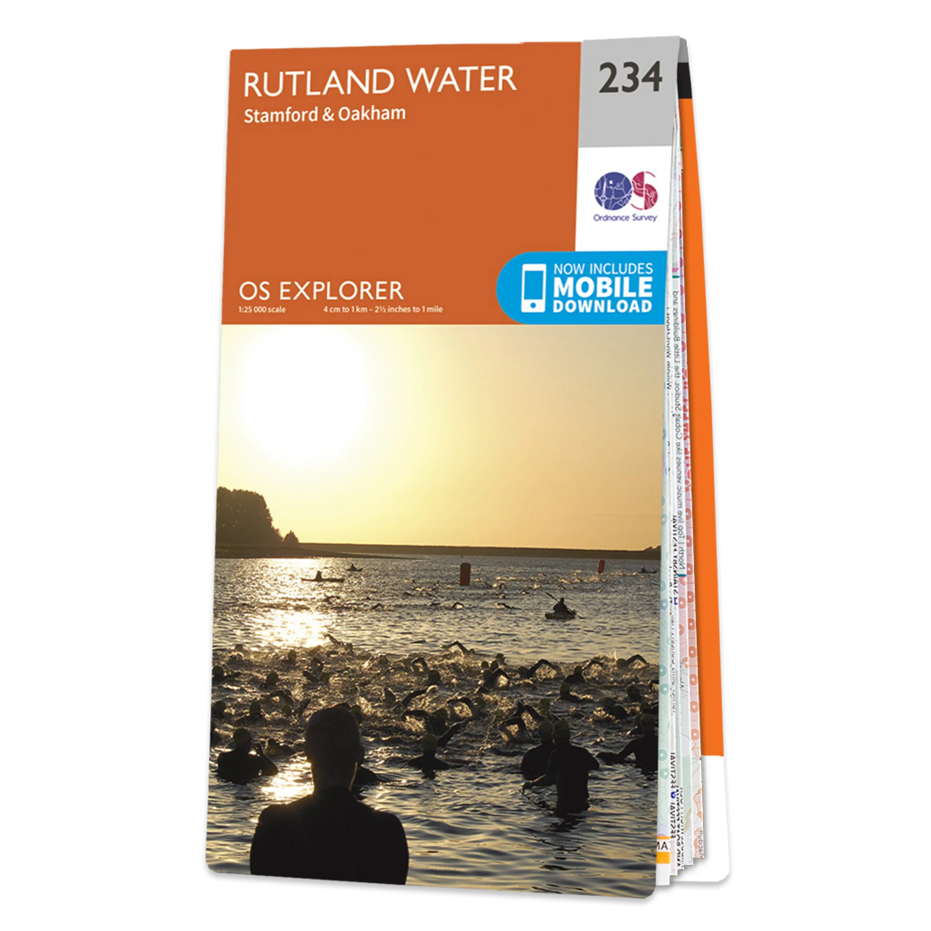
Ordnance Survey Explorer 234 Map Rutland Water
Ordnance Survey Explorer 234 Map Rutland Water
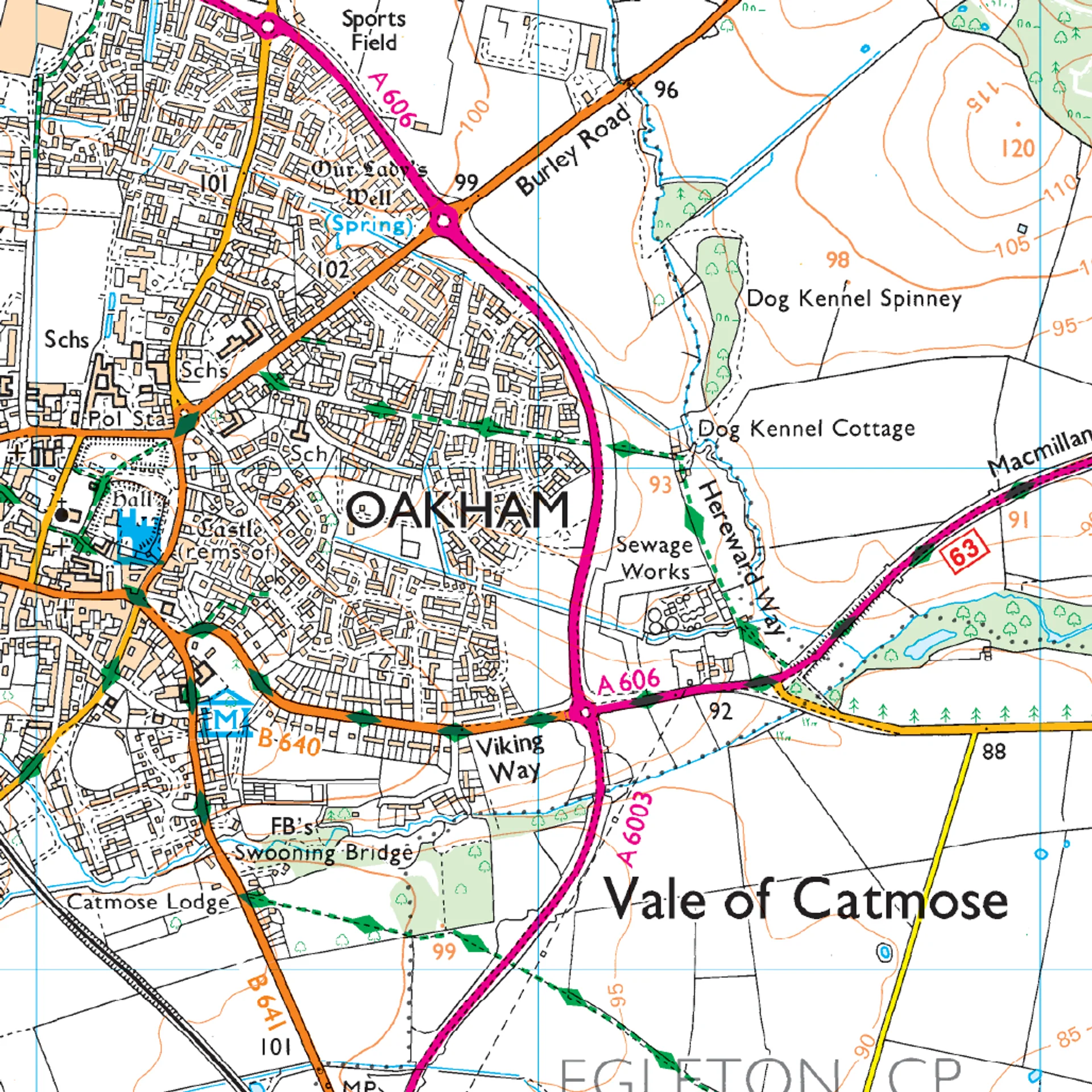
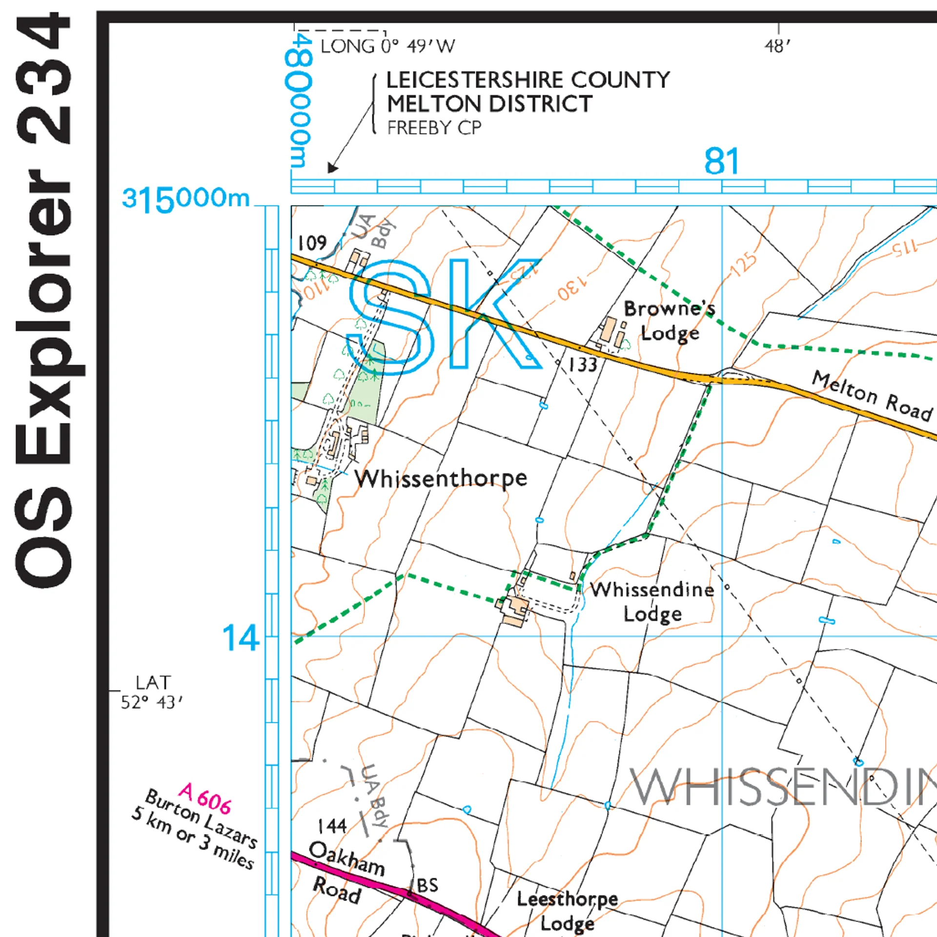
This Ordnance Survey Explorer 234 Map is ideal for walkers, climbers, horse riding, and off-road cycling with its detailed paper folded map. Whether you're exploring Rutland Water, Stamford & Oakham, you'll have all the information you need at your fingertips. Rights of way, fences, permissive paths and bridleways are clearly shown, ensuring you have the best information to get the most out of your time in the countryside. Perfect for outdoor enthusiasts.
This map now comes with a digital version which you can download to your smartphone or tablet.
Map of Rutland Water - OS Explorer Map 234 (Stamford & Oakham)
Featuring:
- Viking Way
- Nene Way
- Torpel Way
- Leicestershire Round
- Hereward Way
- Jurassic Way
- Leighfield Way
- Macmillan Way
- E2 (European Long Distance Route)
- Lincolnshire
- Leicestershire
- Cambridgeshire
- Northamptonshire
- Oakham
- Stamford
- Format: Folded map
- 1:25 000 scale (4 cm to 1 km – 2.5 inches to 1 mile)
- Physical Size: 952 x 1270 mm (133 x 240 mm folded)
Product Information
Product Information
Shipping & Returns
Shipping & Returns

Ordnance Survey Explorer 234 Map Rutland Water
Ordnance Survey Explorer 234 Map Rutland Water
Ordnance Survey Explorer 234 Map Rutland Water
This Ordnance Survey Explorer 234 Map is ideal for walkers, climbers, horse riding, and off-road cycling with its detailed paper folded map. Whether you're exploring Rutland Water, Stamford & Oakham, you'll have all the information you need at your fingertips. Rights of way, fences, permissive paths and bridleways are clearly shown, ensuring you have the best information to get the most out of your time in the countryside. Perfect for outdoor enthusiasts.
This map now comes with a digital version which you can download to your smartphone or tablet.
Map of Rutland Water - OS Explorer Map 234 (Stamford & Oakham)
Featuring:
- Viking Way
- Nene Way
- Torpel Way
- Leicestershire Round
- Hereward Way
- Jurassic Way
- Leighfield Way
- Macmillan Way
- E2 (European Long Distance Route)
- Lincolnshire
- Leicestershire
- Cambridgeshire
- Northamptonshire
- Oakham
- Stamford
- Format: Folded map
- 1:25 000 scale (4 cm to 1 km – 2.5 inches to 1 mile)
- Physical Size: 952 x 1270 mm (133 x 240 mm folded)
Product Information
Product Information
Shipping & Returns
Shipping & Returns
Description
Ordnance Survey Explorer 234 Map Rutland Water
This Ordnance Survey Explorer 234 Map is ideal for walkers, climbers, horse riding, and off-road cycling with its detailed paper folded map. Whether you're exploring Rutland Water, Stamford & Oakham, you'll have all the information you need at your fingertips. Rights of way, fences, permissive paths and bridleways are clearly shown, ensuring you have the best information to get the most out of your time in the countryside. Perfect for outdoor enthusiasts.
This map now comes with a digital version which you can download to your smartphone or tablet.
Map of Rutland Water - OS Explorer Map 234 (Stamford & Oakham)
Featuring:
- Viking Way
- Nene Way
- Torpel Way
- Leicestershire Round
- Hereward Way
- Jurassic Way
- Leighfield Way
- Macmillan Way
- E2 (European Long Distance Route)
- Lincolnshire
- Leicestershire
- Cambridgeshire
- Northamptonshire
- Oakham
- Stamford
- Format: Folded map
- 1:25 000 scale (4 cm to 1 km – 2.5 inches to 1 mile)
- Physical Size: 952 x 1270 mm (133 x 240 mm folded)